About the Business

Castle Surveys are based in the heart of the national forest, we cover the whole of the United Kingdom with an office in the Midlands, Manchester & London. We provide our clients with surveying solutions using the latest intelligent geomatic surveying equipment to produce topographic land surveys, measured building surveys, 3D laser scanning surveys, Building Information modelling surveys, Underground Utility Surveys, CCTV drainage surveys and reports for all you architectural, planning and construction needs.

With over 30 years of experience in the geomatics and engineering industry has allowed us to gain an unprecedented reputation for surveys and engineering services.

We pride upsells in detailed, comprehensive surveys to allow our clients and other specialist professionals to do their job. That may be using our land surveys for flood risk assessments, visibility splays, drainage & SUDS designs, as-built surveys and quality assurance. Castle Surveys are a surveying company you can rely on for all your surveying needs.

Business Services

Quality Assurance Surveys & Reports

Whether you need a survey or report of an as built survey for sign off and quality control or monitoring a building surveying construction Castle Surveys can help.
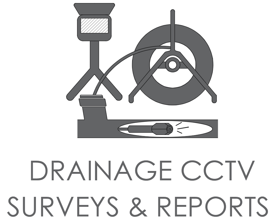
Drainage CCTV Surveys & Reports

Castle Surveys provides comprehensive CCTV Drainage Surveys & CCTV Reports to suit all customers’ needs from residential home owners to commercial premises & construction sites.
Castle Surveys CCTV Surveys utilises state-of-the-art CCTV drainage equipment & systems to provide professional inspections of drainage and culverts then present this information via a CCTV Survey Report.
Whether you need to calculate drain runs, locations, depths, capacity or detect areas of potential water egress, our CCTV drainage surveys will determine the structural integrity of a drain and provide photographic and video evidence of any defect found. We supply a detailed summary outlining any remedial works that may be required, along with concise drawings that map the exact location of your underground network.
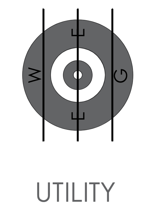
Underground Utility Survey's & Reports

Utility Mapping & GPR surveys are an essential during the initial design & planning stage when considering the construction of new structures or infrastructure. The need for detailed and accurate plans which show where utility services are located allow a safer working environment and a cost-effective way to help plan any construction or building works. Castle Surveys Ltd offer a full underground utility survey that can be overlaid onto our topographical land surveys. Although based near Leicester, we can cover the whole of the UK.
Site Engineering & Setting Out

Castle Surveys are experts in site engineering services and construction setting out with the construction and civil engineering sectors.
Our site engineering services consist of:
Foundation setting out
Face of brick/block
Pile locations and levels
Grid lines
Bolt box locations
Roads, channels and highways
Manhole locations
Finished floor levels
Site survey control
Boundaries
Floor & concrete slabs
All external works
Solar panel location setting out
Wind turbine setting out
Our setting out engineers have a vast amount of knowledge and experience when it comes to setting out projects. Our clients range from 1 plot self builds to multiple plots on behalf of housing developers. All our setting out engineers hold valid and up to date CSCS qualifications and cards to enable us onto sites to carry out the site engineering.
Construction setting out drawings can be emailed to our setting out engineers. Formats that we accept are DWG & DXF files and will containing the location and coordinates of what needs to be set out.
Our site engineering services allow us to see the project from the initial stage of planning application by carrying out the topographic land survey to the beginning of the construction and getting the project off the ground! This may involve setting out of piles, foundations, drainage, access roads or, further down the line, your steel frame, brickwork or concrete slabs. It is essential that you make sure you have competent, reliable and professional site engineering surveyor on-site to support on your project from day one.
Castle Surveys use the latest Leica robotic total stations and Leica GPS equipment to carry out our construction setting out and site engineering services. This allows us to give the client the confidence that the setting out is carried out to the highest standard and our internal quality assurance and on site ensures it is right first time potentially, saving both time and money.
Building Information Modelling

At Castle Surveys Ltd, we know how important the use of BIM (Building Information Modelling) can be to design, surveying, and construction industries. With today’s technology, we can assist industries with intelligent 3D plans that provide an accurate depiction of a building, site plan, or plot of land using BIM technology.
Moreover, 2D plans can be extracted from the 3D design to ensure consistency and reliability in data throughout a project’s life-cycle. We know that if all phases of the BIM are constructed correctly, those plans can save you precious money and time on a building project.

Also know as BIM surveys or scan2bim surveys, Castle Surveys can produce detailed as-built BIM Models.
3D Laser Scanning

High definition surveying, or 3D Laser Scanning, can provide you with a more enhanced and versatile measured survey solution. The technique remotely captures data on site, making it particularly useful in areas that are difficult to measure and areas of highly ornate detail, which also eliminates access or health and safety issues. It enables Castle Surveys to provide you with a highly sophisticated, efficient and cost effective 3D Laser Scanning survey service for your project, to millimetre accuracy.
Laser scanning is an extremely fast method of capturing large amounts of highly accurate data, which reduces project cycle times.
Survey data can be captured remotely to the area of interest, which can be crucial to historical or highly sensitive sites. Data can also be archived for heritage sites.

Measured Building Surveys

The surveying teams at Castle Surveys are devoted towards providing comprehensive and precise Measured Building Surveys. This includes :

Floor Plans

Elevations

Sections

Roof Plans

Area Surveys & Reports

Measured Building Surveys provide accurate and detailed plans of the building’s layout and structure, which can then be used for design, re-modelling and renovation purposes. A typical survey would show all structural features including windows, doors, walls, beams, floor and ceiling heights. Onto this we can then add fixtures and fittings such as electric points, light switches and fittings, radiators and furniture.
Topographical Land Surveys & Land Surveyors

A topographical survey also known as a land survey, level survey, topo or site survey, is an ariel perspective or a bird’s eye view of an area of land. It is a vital requirement in the early stages of any development for the design stage.

Our topographic land survey will include the footprint of the existing & neighbouring buildings and structures, trees, boundary details & heights, ground surfaces and changes, service covers and locations, basic drainage details and detailed level information relating to Ordnance Survey. However, we tailor our services to fit your needs, just tell us what you’re reequipment and we will do the rest…
The most common method for providing an accurate plan of terrain is through the use of standard topographic surveying techniques using Theodolites and GPS also known as EDM’s.​

Castle Surveys carry out Topographic land surveys using the latest intelligent geomatic surveying equipment to provide surveying solutions for clients. Our Land Surveyors are highly experienced in delivering land surveys & topographic site surveys.
Reviews

Nicholas Navas
16 Nov, 2020

Land and topographical surveys. Professional and experienced staff and reliable.

Ali McKendrick
16 Nov, 2020

An efficient service carried out by friendly and polite surveyors. Wouldn't hesitate to recommend their services.

Location & Hours

Shellbrook Farm, Moira Road, Shellbrook, Moira Road

Ashby de la Zouch, LE65 2TT
Write a Review
  • Office

    Castle Surveys

  • Get Directions

    Shellbrook Farm, Moira Road, Shellbrook, Moira Road, Ashby de la Zouch, LE65 2TT

  • Phone

    01530 569338